


Tanjung Manis Halal Hub (TMHH), was established by the Government to be the largest integrated halal hub in Sarawak. It consists of 77,000 ha of pristine agriculture land, stretches from Pulau Bruit in the north to Sarikei Town in the south. In line with the Government’s aspirations under the New Economic Model (NEM), TMHH is planned to attract investors with high values projects and efficient in productivity to transform the region into a high-income economy generator. The Government of Sarawak is looking into ways of expanding the economic activities in the existing rivers/ water ways from the current aquacultures industry to other activities such as refineries, oil & gas onshore facilities, ship building, etc. A feasibility study is therefore required as the first step toward realization of the proposed development.
The area of study is located in deltas and estuaries of several major rivers including Batang Rajang. The environment is near pristine mangrove and coastal peat forest that is ideal for agriculture. The proposed area is located at the meandering channel in a coastal wetland subject to diurnal tides. The area is approximately 8 to 10 km from the river mouth and neighbouring to the Belawai Island. The proposed development can be divided into two (2) components which are:
(i) Construction of Separator/barrier to segregate the existing networks of waterways.
(ii) Construction of approximately 33km access road from coastal region to the existing Tj Manis-Serdeng Road
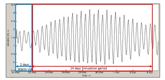
The feasibility study shall cover all aspects of engineering assessments (civil engineering, coastal hydraulic modeling & analysis; & geotechnical evaluation), Environmental Assessment Impact study and inclusive of required data collection (ground survey & soil investigation) required to ascertain the viability of the proposed development. The main purpose of the study is to make assessment of the viability and efficiency of the proposed separator/barrier in segregation of the waterways. The target is the existing network of rivers shall be separated such that the effluents from industrial zone will not spread into the aquaculture zone. Long term impacts such as the increasing rate of sediment deposition in the adjacent waterways. Coastal environmental impacts with respect to the degree of coastal deposition in sensitive areas and sediment budget changes in the rivers for example, should not significantly exacerbate the situation to be already found in the natural environment. Numerical modelling of hydrodynamics, tracer dispersion and sediment transport will be carried out to investigate the impacts of the proposed works to the surrounding river and coastal area.
Client
Jurutera TCS Sdn Bhd
Location of Project
Loba Baun, Tanjung Manis.
Implementing Agency
Sarawak Timber Industry and Development Corporation
Funded by
Sarawak Timber Industry Development Corporation
Year of Design/Study
2013
Year of Project Implementation
2013
Project Cost
RM 1,700,000.00